Virginia Roads
A collection of information and personal research
U.S. 29 Lynchburg/Madison Heights Bypass
This new highway will carry U.S. 29 to the east of Madison Heights and Lynchburg, avoiding congestion in Madison Heights and the 1960s-era Lynchburg Expressway. It will leave the current route just south of Amherst and end at U.S. 460. Southbound U.S. 29 traffic will travel west on U.S. 460 to the present interchange with U.S. 29 at Wards Road.
The project includes new construction of a section of U.S. 460 to the south of the present alignment. This will leave a small gap (still a four-lane divided highway) between the present end of the limited-access U.S. 460 bypass around Lynchburg and the new road. The new highway will replace an older, curvier (and 45 MPH speed limit) section of U.S. 460 between the Concord Turnpike and the Mt. Athos interchange.The construction of both U.S. 29 and U.S. 460 has largely been hidden from view, since the routes are through heavily wooded and sparsely populated sections of Amherst and Campbell Counties.
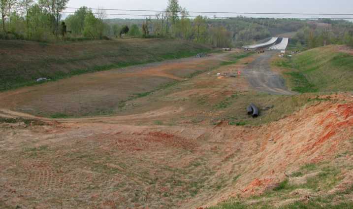
The photograph below was taken on May 19, 2002, looking north from U.S. 460. The twin bridges in the background will carry U.S. 29 across the James River, the former Norfolk & Western Railway main line on the north bank, and the active CSX tracks on the south bank.

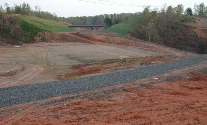
This photograph was taken on May 19, 2002, across U.S. 460. It is looking south at the interchange with the new portion of U.S. 460 and the U.S. 29 bypass.

Back to Virginia Roads page.
Copyright 2002, Bruce Harper